
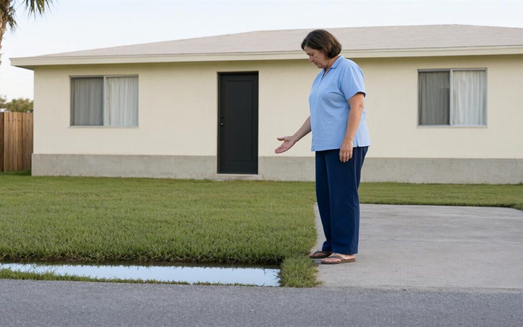
A search for flood zone Florida usually starts with one address and ends with a question about coverage. Somewhere in between sits a lender’s request, a closing date, or a renewal notice asking for a letter and a number most people have never had a reason to look up. The lookup itself is free, public and quick. The slower part is understanding what the result means for the property, the mortgage and everything stored inside it.
Why the Zone Is the Starting Point, Not the Answer
Standard homeowners policies generally exclude rising-water flooding, so a modest zone designation never settles the coverage question on its own. Anyone weighing that gap can start with how homeowners, condo, renters and landlord policies differ, because the policy that answers wind damage and the policy that answers rising water are not the same document. Flood risk does not stop at the flood-zone line either. Heavy rain, storm surge, overflowing canals and rising water can damage property well beyond mapped high-risk areas, and a single afternoon storm can put more water on a block than the drainage system was built to move.
The odds accumulate quietly. A 1 percent annual flood probability compounds to roughly a 26 percent chance over a 30-year mortgage. Read that as a homeowner rather than a statistician: the exposure renews every year the loan stays open, which is why so many Florida owners ask about coverage from an address the map calls moderate risk. The depth matters as much as the odds. Up to roughly $25,000 in damage can follow one inch of floodwater, according to FEMA consumer guidance, and an inch is not a dramatic event.
What the Flood Map Service Center Can Show You
The Flood Map Service Center is FEMA’s public tool for finding flood maps by address. Behind the search box sit several kinds of documents, and knowing which one answers which question saves a great deal of clicking.
The flood insurance rate map is the document most people need. It breaks an area into panels, and each panel carries a zone designation and an effective date. The flood insurance study is the written report behind those panels, holding the modeling and the historical context. A letter of map change is what FEMA issues when a designation is amended after publication. That third document matters more than it sounds, because a property’s panel may not match an older copy sitting in a closing file or an association’s records.
How to Look Up Your Address, Step by Step
Step 1: Search the Full Street Address
Enter the complete street address of the property, not the city, not the zip code and not the subdivision name. Flood zones can shift within a few hundred feet, so a general search can return the panel for a neighborhood rather than the lot. New construction and recent plats are the usual exception, where the panel may still show the parcel’s earlier outline. Read that as a detail to note, not a mistake to correct.
Step 2: Open the Map Products for the Property
Results for a matched address list the map panels along with the supporting documents attached to them. Open the panel first, since it is the document a lender or carrier will read, then the study if you want to understand why the area is drawn the way it is.
Step 3: Read the Zone Letter on the Panel
The designation appears on the panel itself, in the legend and in the area covering the property. Look for the letter and number together rather than reading the letter alone. A, AE, V, VE and X are the designations Florida property owners are most likely to meet, and the differences between them are not cosmetic.
Step 4: Record the Effective Date and Save the Panel
Every panel carries an effective date, and that date decides which version of the map governs a decision made today. Save a copy of the panel with the date attached. One saved document keeps a lender, an agent and a closing file looking at the same drawing, which is a small habit that heads off a long email chain later.
What the Zone Letters Mean in Plain Language
The zone letter describes mapped risk. It is a fair starting point for a conversation about coverage, and a poor substitute for one.
- A and AE zones generally indicate higher riverine or inland flood risk, the kind that arrives with a rising creek, a swollen canal or a slow rain event rather than a named storm.
- V and VE zones generally include coastal wave-action exposure, where water arrives with force behind it instead of simply rising.
- X zones are commonly described as moderate or lower risk, and they still flood. Heavy rainfall, drainage backup and canal overflow do not check the designation first.
- Letters of map change can amend a designation after the panel is published, which is why the effective date matters as much as the letter printed on the page.
A federally regulated lender may require flood coverage when a property sits in a Special Flood Hazard Area, which is where the A and V designations sit. A requirement and a risk assessment are two different things, and the second one is the more useful of the pair.
Four Things the Map Will Not Tell You
Elevation information may affect underwriting and pricing, and the map does not carry it. That detail usually comes from a survey, an elevation certificate or a review of what the carrier has on file for the building.
The map also says nothing about the property’s finished floor level, the condition of the nearest drainage system, or the construction going up across the street. Those are the practical reasons two houses on the same panel can have very different experiences in the same storm.
Storm surge deserves its own mention, because it is generally treated as flooding rather than wind damage. An owner who reads a wind policy and assumes the hurricane question is answered has usually left the larger half of the exposure uncovered.
Finally, a panel records a designation as of a date. Maps are revised, appeals and amendments work through the system on their own schedule, and a document printed five years ago may describe a property that has since changed category. The effective date is the fact that separates a current answer from an old one.
Turning the Zone Into a Coverage Conversation
The flood zone Florida has on record for your address is a starting point for a comparison, not a verdict. What comes next is a set of questions that the letter alone cannot answer: how quickly coverage can start, what the policy will consider a flood, and which parts of the property are insured at all.
Timing is the first of them. The standard NFIP waiting period often applies to new coverage, with important exceptions such as certain loan-closing transactions, so the calendar matters as much as the premium when a closing date is already set. It helps to understand what a flood insurance waiting period means before the date is fixed rather than after.
Structure is the second. Building coverage and contents coverage solve different problems, and they may carry separate deductibles. A policy that responds to the structure does not automatically respond to the furniture, the clothing or the appliances inside it.
Source is the third. NFIP policies follow federal program rules, limits and forms, and availability may depend on community participation. Private carriers may offer different limits, pricing, waiting periods or features, subject to underwriting. Exclusions run alongside both, and earth movement, moisture not caused by a covered flood, temporary housing, vehicles and property below grade may be limited or excluded. Comparing those details side by side is where Florida flood insurance options become a decision rather than a category.
Condos, Rentals and Addresses That Are Not a Single-Family House
A unit sits inside a building whose flood exposure and insurance are settled at a different level, usually by an association and its board. That arrangement splits responsibility in ways a single zone lookup cannot show, and the split is worth confirming before a lease is signed or a unit is purchased.
A renter may be able to buy contents coverage even though the landlord insures the building, which is often the difference between replacing belongings and starting over without them. Owners carry the other side of the same question: the association’s policy answers for the structure according to its own terms, and the unit owner’s policy picks up from there. The practical guide to that boundary is flood coverage for condos and rentals, and it is worth reading with the panel open beside it.
Key Takeaways
- A lookup costs nothing and takes minutes, and a full street address returns a better result than a city or zip code.
- Save the map panel with its effective date, since the date, not the letter alone, tells you which map is current.
- A and V designations generally carry higher flood risk and are where a federally regulated lender may require coverage.
- A zone described as moderate risk still floods, and a lender requirement is not a risk assessment.
- Bring the panel, the elevation information and the building details into a quote conversation rather than relying on the letter alone.
Conclusion
Looking up an address takes a few minutes. Keep the panel and its effective date somewhere you will find them again, and read the zone as the first item in a file rather than the answer at the end of it. The letter tells you how an area is mapped, while the building, the elevation and the contents inside it decide how much of a loss a policy actually responds to.
MAD Insurance is an independent agency with offices in Pembroke Pines and Stuart, serving South Florida since 2013 and shopping multiple carriers across personal and commercial lines. Coverage cannot be bound or changed without licensed agent confirmation, so the useful next step is a conversation: bring the address, the panel, any elevation documentation and a rough inventory of what is inside, then request a flood quote to see the options written out for that property. In a state where the water rarely respects a line on a map, that comparison is the part worth getting right.


Recent Comments